
Instructions for use and tips
Using the automatically updated documents in the morning should give a glider pilot
a good idea of the day's possibilities for local or cross-country soaring.
It can also be the basis for a weather briefing from an instructor to his students
or even the club briefing projected on a large screen by the chief pilot or flight director.
Zoom X 2 (Ctrl+wheel) to go down frame by frame.
Weather of the day
The general situation is illustrated by an animated satellite image in the infra-red (water vapour channel) which allows to see the movement of clouds and air masses.
(check the date)
Other images are available by clicking on Image IR.
In the header you will find the Météo France vigilance map in small format and if areas are orange or red, it is advisable to go and see the risks by clicking on Vigilance.
The ground map, with fronts and isobars plotted, is the most recent analysis of the present weather and specifies the centres of action and the disturbed areas.
Fronts allows you to see the fronts forecast for the following days.
Radars & lightning, gives access to the radar mosaic of Météo France
and the possibility of zooming and animating images every five minutes for 30 minutes to 4 hours.
The upper air situation :
The forecasted 500 hPa map (around 5500m) with isohypses and temperature coloured areas,
confirms the air mass movements seen on the IR satellite image.
Dorsals, warm spurts, talwegs and cold drops are to be followed at 500hPa.
The forecast wind at 700 hPa (around 3000m) presented in streamlines and coloured speeds,
allows to know the drift of the middle clouds, the interactions with the lower convection
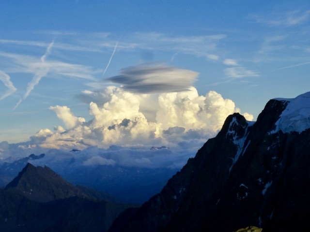
and the possibility of lee waves in mountainous areas. Evolution to be followed on 700 hPa /
The ICON sensitive weather model / locates areas unfavourable to gliding.
On the visible animated image, the highest clouds are visible, but in the absence of
clouds, fog and cumulus clouds are clearly discernible.
Finally, the forecast of the cloud layers by the AROME model is visualised by Météociel
in red for low clouds, green for medium clouds, blue for high clouds
and the clear sky is the black background.
You can then switch to the finer forecasts for France by quarter
NW NE SW SE
Opening a new tab allows the preparation of a collective briefing.
These pages are on the same scheme,
with a map of the forecast isobars
to have an idea of the QNH of the day
on which the total cloud cover and precipitation are added. This is a summary of the weather forecast by MeteoCiel's WRF-NMM 2km model.
The following image is
the three-levels AROME cloud cover from Météo France proposed by MétéoCiel,
while further on we find
the vertical velocities
in hPa/h (opposite sign of our Vz) at 700 hPa (3000m) with the isohypses, from the WRF-NMM 2km of MétéoCiel.
This map is useful in stormy situations and in mountainous areas to detect lee waves.
See briefing on the wave (vidéo 45').
On the MétéoCiel website, you just have to move the mouse on the time dots
to scroll through the (local) times. You can also create an animated GIF image (top right button).
The surface wind (10m) and the wind at 925 hPa (800m)
complete the visualisations of the main parameters that may concern glider flights.
At the bottom of the regional pages and on the page"Aérologie vol à voile" (Gliding Aerology) expert software
such as velivole.fr (free) and MétéoParapente (some days reserved for contributors) are available,
as well as special bulletins and other automatic briefings.

Many thanks to the indexed sites and to the global weather services
who measure, calculate, elaborate parameters and images that they exchange and disseminate
and make available to all, precious elements in real time.
For any questions or suggestions on "ProMet" :
michel.charpentier4 "@@@" orange.f r
CPT